
Trip Report - Mount Rainier via Emmons - August 1st - 3rd 2020
Well, I went up Rainier again - second time in two weeks - via the Emmons. This time I went with Becky and Toby, who happened to be in town for the weekend! We again got perfect weather and managed to pull off another great trip.
Roundtrip Stats
20 miles and 10,855’ of gain
24 hours of total travel time (3 days)

Roughly our route, hit me up if you want a gpx
Specifics
Interglacier is starting to break up, with some cracks and holes above 8k’. We roped up on the way up and down to be careful, though the cracks are all pretty obvious.
Ascending or descending the Prow sucks with full packs, unless you really enjoy choss. There’s probably a good line off it but we couldn’t find it.
Camp Schurman has running water on the glacier just above camp (between Schurman and Emmons Flats) as long as it’s sunny and warm.
The Corridor is in solid shape, with lots of small things opening up, but nothing too concerning.
There’s a beautiful crossing under/through a serac at 11,500’ that’s still in good shape.
At ~11,800’ the main bootpack used a bridge that is now gone. Currently (as of 8/2/20 @11 am), there’s a shitty bridge still hanging on, but this bridge has cracks on both sides, and I can’t imagine it’s going to last too much longer. See pics below for details.
Above 11,800' and the bridge, everything is smooth sailing. The route heads almost all the way to Liberty Saddle before pushing up to the summit.
There’s a lot of penitentes on the last 600’ to the summit, which are both beautiful and super frustrating to walk through.
Photo Story
Day 1 - from White River Trailhead to Camp Schurman
We hiked up on Friday afternoon.

Glacier Basin is beautiful, and all the wildflowers are out!

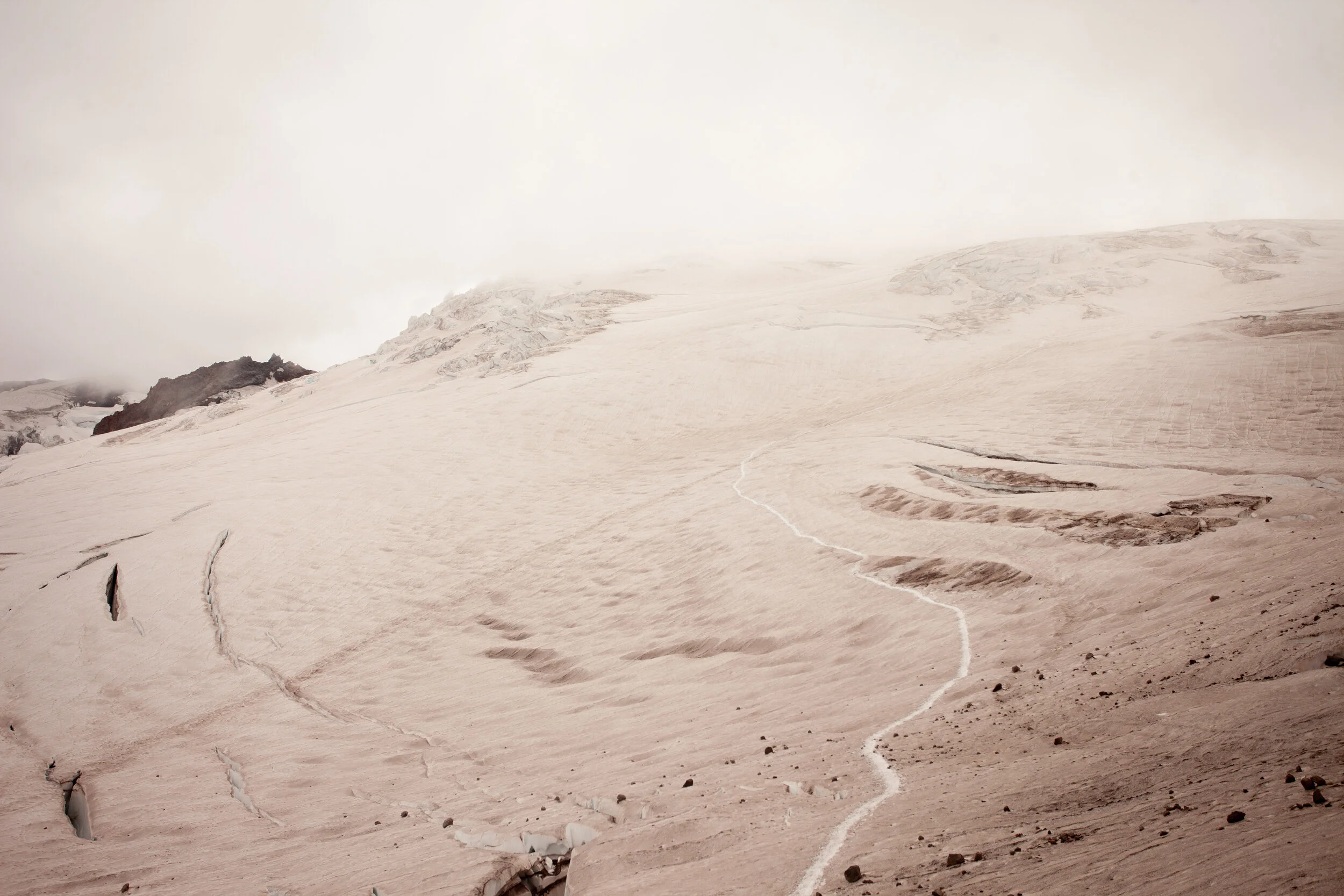
The snow on the Interglacier starts at ~7k’

There are cracks and holes opening up on the Interglacier above 8k’

Climbing down the Prow to get to Schurman takes a long time

Still climbing down the Prow
Day 2 - Chilling in camp
We spent day 2 hanging out in camp, drinking a ton of water, eating a ton of food, and practicing rescue skills, before heading to bed at 5 pm.

There’s running water above camp at Schurman (between Schurman and Emmons Flats) if it’s sunny and warm out. Thanks to Mia for teaching me the ice screw trick a few weeks ago!

Rest days are all about hydration

Beautiful camp, with some deep cracks opening up near the tents
Day 3 - Schurman to Summit to Schurman to White River Trailhead
We left camp at 12:30 am and headed up the Corridor, which was all solid, though there were definitely some smaller cracks opening up both across and parallel to the bootpack.
At 11.5k’ we topped out the Corridor and went right, through some beautiful seracs. We moved quickly through this section, but it was spectacular.

Here’s a photo of the 11.5’ serac crossing (on our way down)
“The Crux” at 11,800’
We’d gotten some beta that at 11,800’ the main bootpack led to a now-fallen snowbridge, so we went left following some faint tracks (right where the standard bootpack goes straight up a 50 degree slope and into a crevasse) and found this skinny bridge. There may be other ways across this big crack, but this is the one that everyone used on 8/2. We belayed across it on the way up and the way down.
On the way up, there was one crack (at the higher side of the bridge), and on the way down there were cracks on both sides of the bridge.
How long will the bridge last? Who knows? Is there another way around? Probably, but no one we talked to found one.
Since this is the crux of the route currently, here’s some detailed photos:

Looking back across it at 4 am

Here’s me above the bridge, putting in a picket on the way down to get a little security. If you look closely you can see cracks beneath the bridge, as well as across the bridge at both sides.
PC Becky Hunter

And here’s me building an anchor on the far side to belay my rope team across.
PC Becky Hunter
Once we were across the bridge, it was smooth sailling the rest of the way. We followed the main bootpack up and trending right toward Liberty Saddle.

Curtis Ridge in the pre-dawn light

I’d read about how the alpenglow lights up the mountain for 5 minutes at dawn, but it was truly spectacular to experience it.

Cracks near Liberty Saddle

Penitentes and the final push to the summit (big snow mound)
We summited in gusting 30ish mph winds and took shelter by the register till we were ready to descend. The descent was straightforward, and we got down in 3 hrs, including belaying the 11.8k’ bridge.
Once we were back at camp, we celebrated with some snacks and red wine, then broke camp and headed out.

Celebratory wine once we got back to camp!
On the way out, we took the lower Emmons Glacier, which was very straightforward and led right to Camp Curtis.
Looking back up across the Emmons Glacier from Camp Curtis
At the bottom of the Interglacier, we threw our 4 season boots on our packs and headed down in trail runners.

Looking up at the Interglacier as we walked out past all the wildflowers.
Hiking out took forever with our heavy packs and our tired feet, but we made it down to the car and drank trailhead beers to celebrate.
Thanks to my fantastic partners for the great trip
and to Rainier for the perfect conditions and weather!

Becky, looking cheerful after 17 hrs of being up and moving
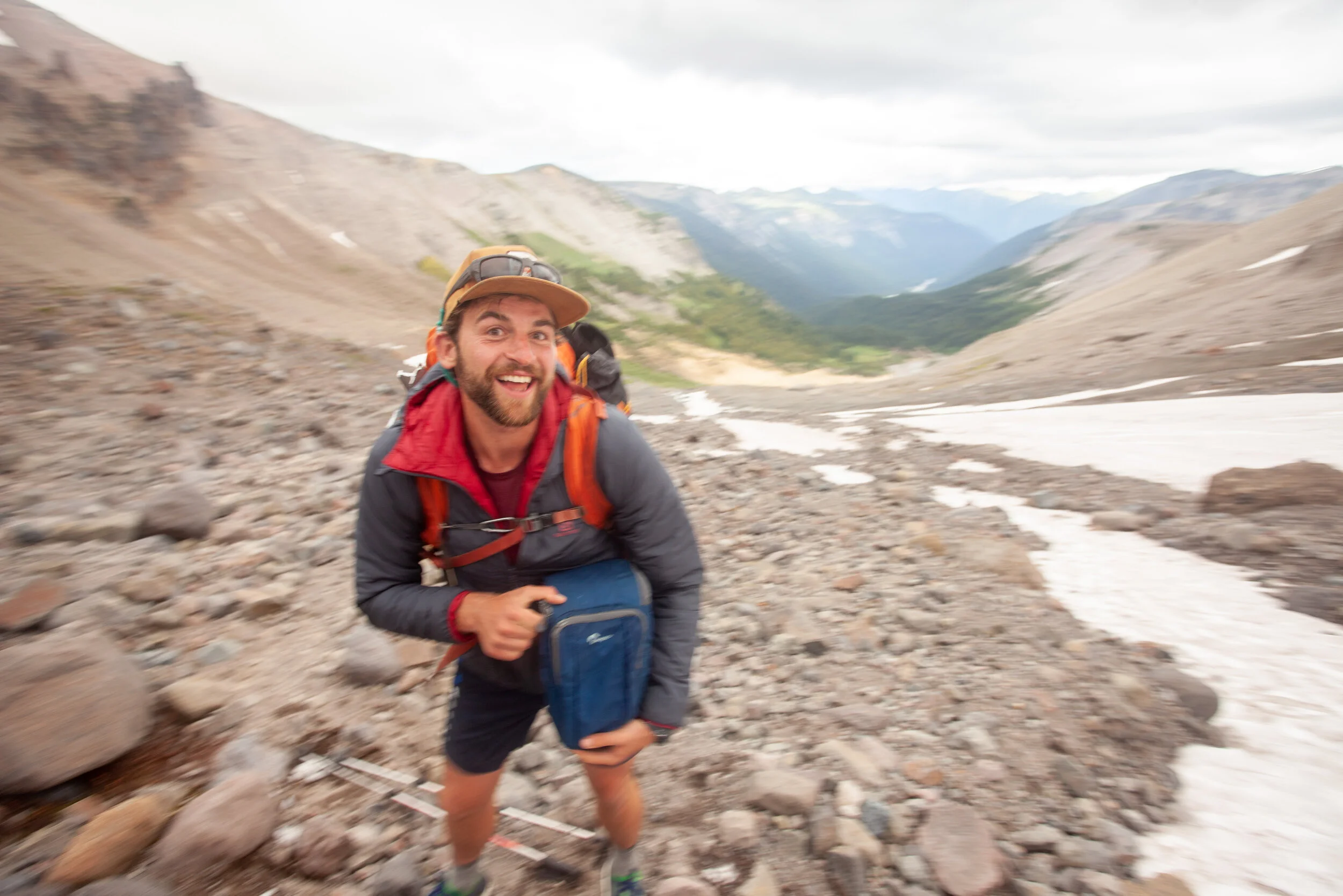
Here’s Toby, looking excited about his 50+ lb pack.